

How to use GPS & best places to visit in Greenville
Here is a full map of Greenville in Roblox, with instructions on how to use the navigation GPS and a full list of the best places to visit in Greenville.
Greenville is a popular Roblox title focused on the experience of driving through town, making friends online, and exploring all that the town has to offer.
Let's get into the best places to visit and how to use the GPS in the game.
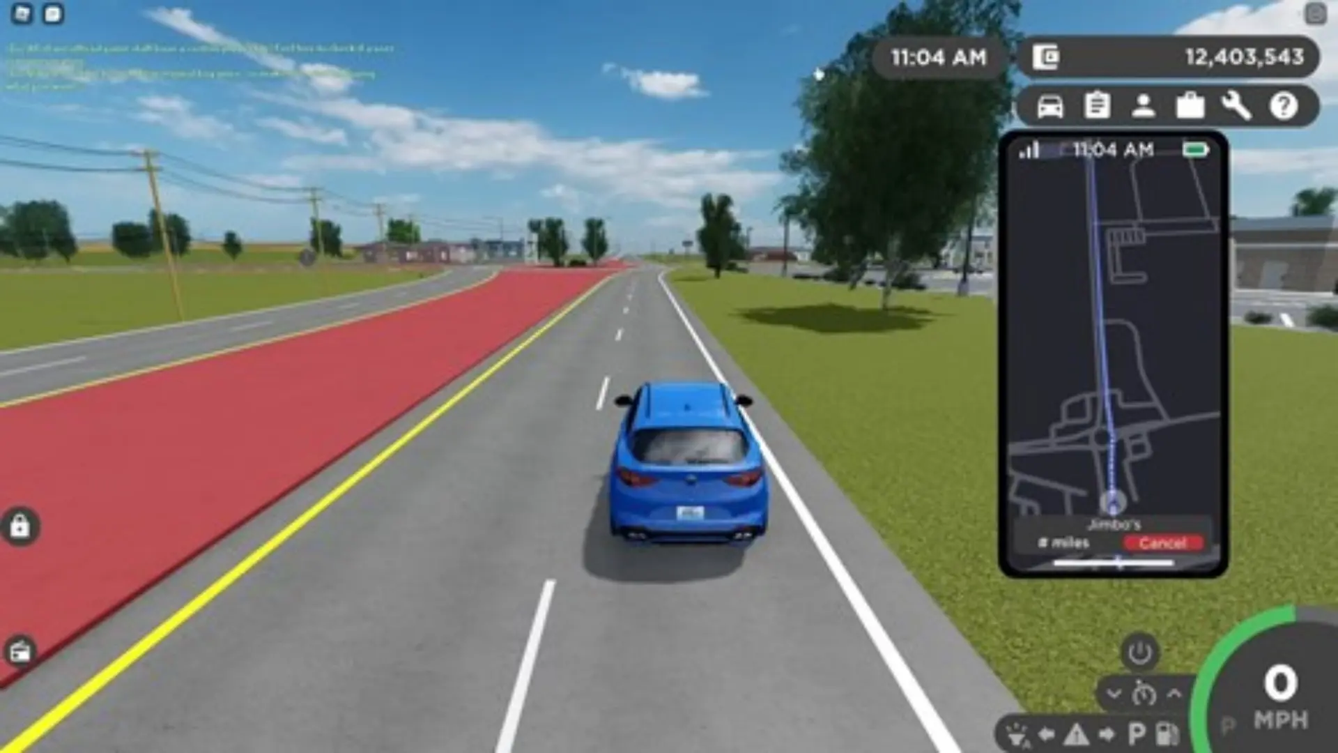
How to use the GPS
To navigate in the game, you can equip your phone and press the 'Navigation' option to bring up the phone's GPS. This has a limited view but should be enough to get your bearings when driving around town, along with the full map above.
Best places to visit on the map
Greenville is split between the Downtown section (center of the map), Lake Greenville south of that, and the western section of the map leading further into Appleton.
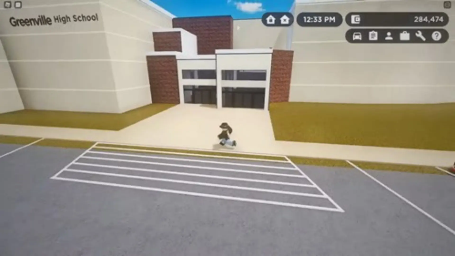
In Downtown, you have the following areas to explore:
- The WSP Station
- The Park
- The fire department
- The high school
- The hospital
On the west side, you have these areas to explore:
- The mall
- The airport
- The DMV
- The OSCO
- The Dealership
If you choose to travel east of the map, you'll see all the housing sections of the map that lead further into Hortonville.
Greenville Full map
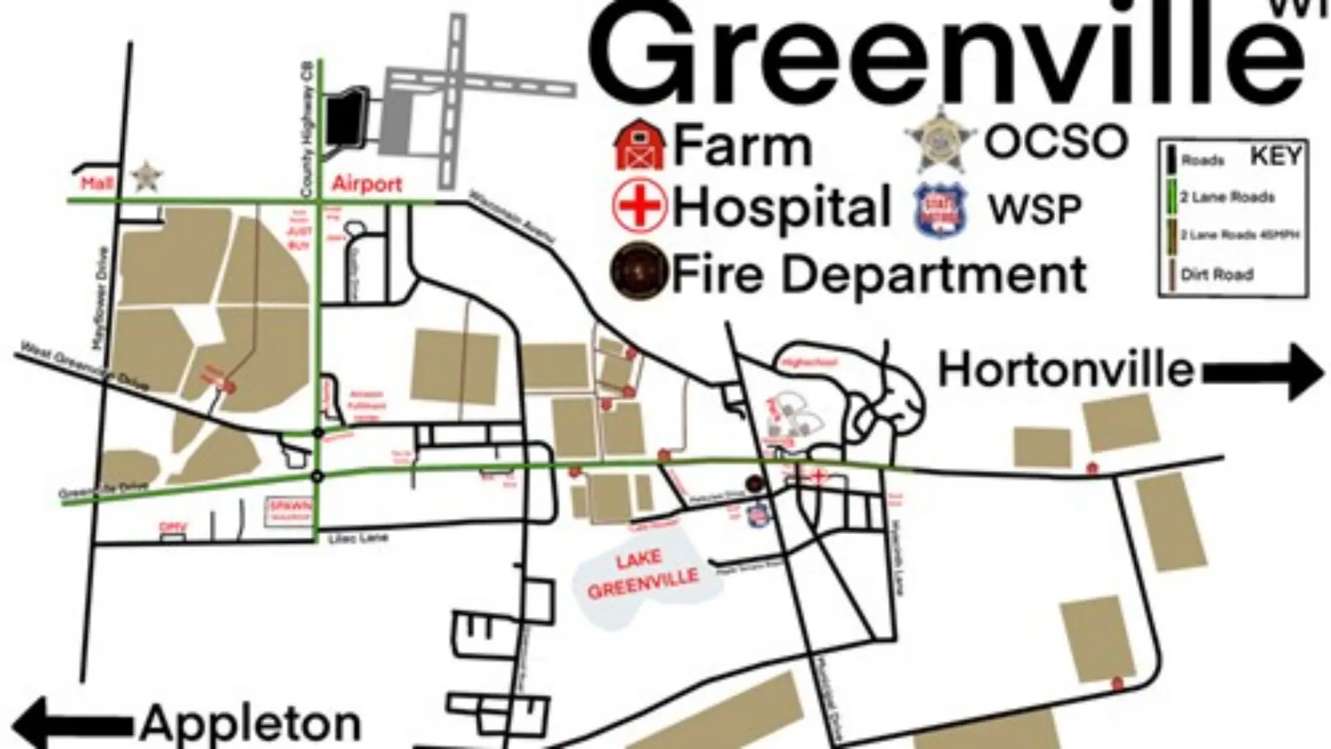
Above is a full map which you can explore with your friends, courtesy of Roblox player, Crazycatcrazyschool.
Here you can see various points of interest like the hospital, farm, and fire department, and the different routes you can take to visit them.
Keep reading to see what you can find in the different places around the map and which ones you should prioritize and visit first.
For even more Roblox guides, you can find them right here at GGRecon.

About The Author
Ben Williams
Ben is a Senior Guides Writer at GGRecon. Alongside his BA (Hons) in Business Management is a wealth of gaming and entertainment writing experience, having previously occupied roles as a Copywriter in e-commerce at Overclockers and Guides & SEO Writer at GameByte and FragHero. When not whipping up guides and reviews, Ben’ll be off playing the latest Pokemon games, Overwatch 2, Spider-Man, The Witcher, and Final Fantasy - all before reading manga and listening to Ice Nine Kills.


